

The introduction of OlmoEarth embeddings marks a shift towards automation and customizability in Earth observation, enabling a range of applications from similarity search to unsupervised exploration.
With the introduction of OlmoEarth embeddings, a significant shift is taking place in Earth observation analysis. This tool offers the capability to compute and export embedding vectors, which are concise numerical representations of Earth-observation data. These embeddings are the result of OlmoEarth’s open-source foundation models, and their public availability is set to transform how we approach geospatial analysis.
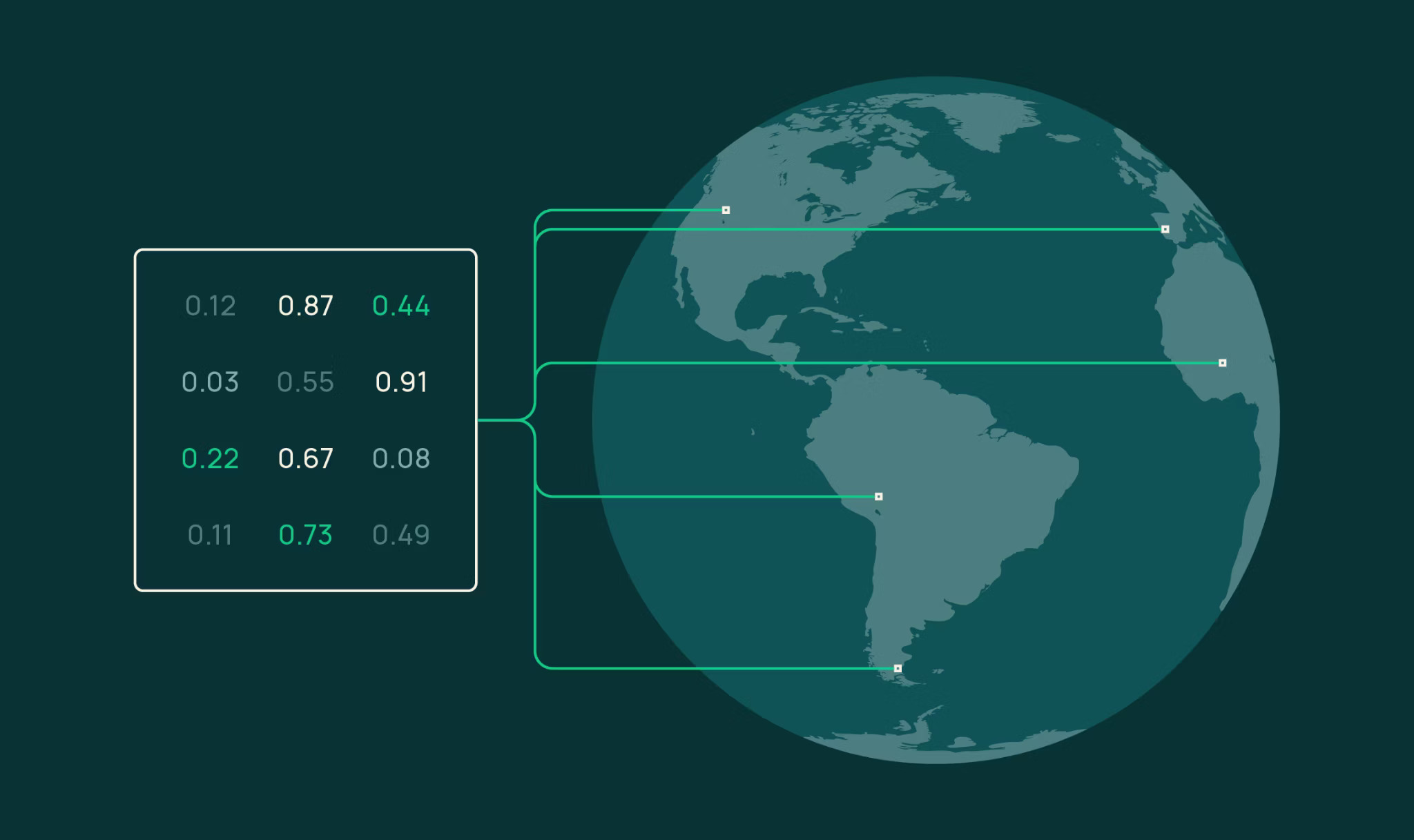
The magic of OlmoEarth embeddings lies in their ability to serve as a versatile entry point for a range of analytical tasks. From similarity searches to segmentation and unsupervised exploration, these embeddings support diverse applications. By clustering similar surface characteristics into close vector proximities, OlmoEarth provides a powerful tool for analyzing and understanding Earth’s complex landscapes.
Embedding Workflow and Customization
The process of generating embeddings in OlmoEarth Studio follows a straightforward workflow. Users configure a model, initiate the process, and then retrieve the results. This method allows for customization through various parameters including area of interest, time range, encoder variants, resolution, and imagery sources. The output comes as a Cloud-Optimized GeoTIFF, designed for easy sharing and efficient processing.
The embeddings are stored as signed 8-bit integers, ensuring they are lightweight yet effective. They can be transformed back into floating-point vectors if needed, allowing users to adapt the data to their specific requirements.
Applications of OlmoEarth Embeddings
Similarity Search
This feature enables users to identify areas that share similar characteristics with a given location. By selecting a query pixel and computing cosine similarity, users can generate heatmaps that highlight regions with similar or differing attributes, allowing for an immediate visual understanding of surface characteristics.
Few-Shot Segmentation
In scenarios where labeled data is limited, OlmoEarth’s embeddings prove invaluable. By utilizing a small number of labeled pixels, users can train a linear classifier to create detailed land-cover maps. This method has demonstrated impressive accuracy with minimal labeled data input.
Change Detection
The ability to generate embeddings at different temporal resolutions allows users to detect surface changes over time. By comparing embeddings from different periods, changes can be identified and analyzed, such as the effects of events like wildfires.
System-Level Shift
OlmoEarth embeddings represent a broader shift towards the automation of geospatial analysis. The technology optimizes workflows by reducing the need for extensive labeled training data, empowering users to conduct analyses with minimal resources. This shift reflects a trend towards delegating complex analytical tasks to intelligent systems, enabling faster and more efficient processes.
The embeddings leverage machine learning to compress vast amounts of observational data into useable vectors, enhancing the ability to identify patterns and changes in the Earth’s surface. This advancement not only streamlines geospatial analysis but also democratizes access to sophisticated analytical tools.
Conclusion and Future Directions
As the use of embeddings in Earth observation continues to expand, the possibilities for analysis and insight grow exponentially. By automating data processing and enhancing customizability, OlmoEarth is not just a tool but a fundamental shift in how geospatial data is utilized. The integration of AI into these processes exemplifies how technology continues to transform traditional methods of analysis.
Moving forward, continued advancements in data quality and further developments in model training will only serve to strengthen the capabilities of OlmoEarth embeddings. As users increasingly integrate these tools into their workflows, the impact on geospatial analysis will be profound. Monitoring continues.