
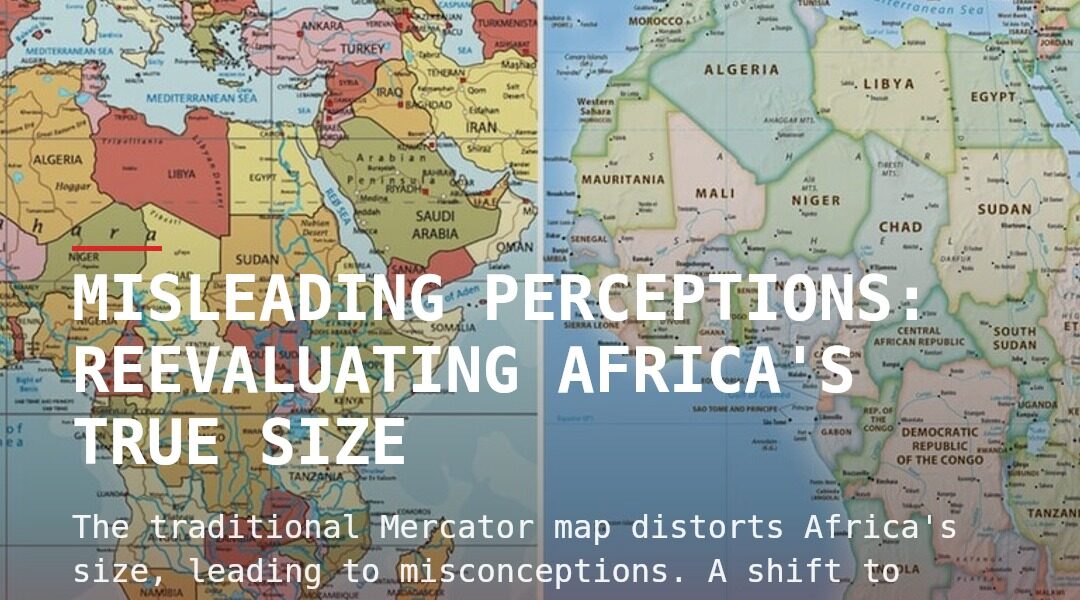
The traditional Mercator map distorts Africa’s size, leading to misconceptions. A shift to more accurate projections like Equal Earth is underway, impacting education and global perception.
The Mercator projection, a widely recognized geographic representation since 1569, has long distorted our understanding of the world’s true proportions. Although designed to aid navigation, it inadvertently misrepresented landmasses, notably shrinking Africa’s massive size compared to other regions. This map, while instrumental for centuries, now faces scrutiny and calls for reform.
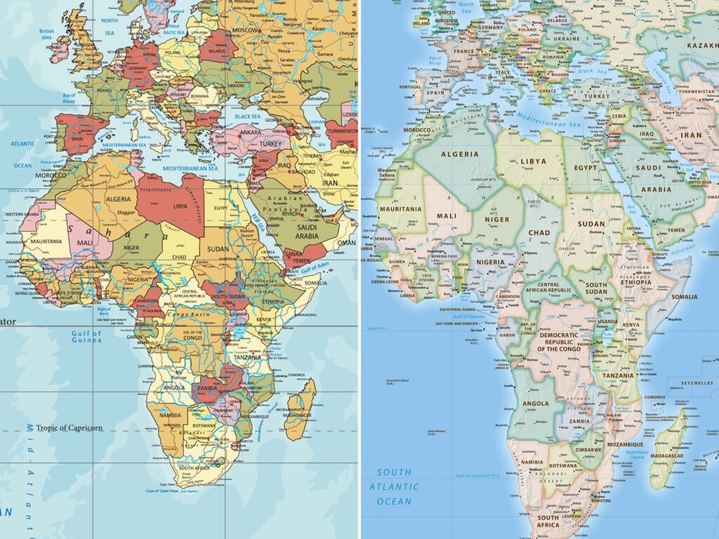
Recently, a significant development has emerged with the United Nations General Assembly’s overwhelming support for alternative map projections. These projections aim to correct the long-standing misconceptions perpetuated by Mercator maps, notably with the introduction of the Equal Earth map.
Designed in 2018 by a team of international cartographers, the Equal Earth projection effectively preserves the proportions of terrestrial surfaces, offering a more accurate visual representation of Africa’s true enormity—14 times larger than Greenland, contrary to Mercator’s suggestion of similarity.
System-Level Shift: Delegated Cognition
The adoption of the Equal Earth projection exemplifies a shift in delegated cognition. For centuries, maps have served as cognitive tools, guiding decisions and shaping perceptions. The Mercator projection’s persistence in educational and technological contexts has ingrained a skewed perception of geographic realities, impacting educational, cultural, and geopolitical perspectives.
By shifting towards projections like Equal Earth, societies are re-evaluating long-held beliefs and adjusting to a more accurate understanding of global geography. This realignment is not merely academic; it influences cognitive frameworks and how regions perceive their place and importance on a global scale.
Implications in Education and Technology
The adoption of new map projections impacts various sectors, notably education and technology. Educational resources are beginning to incorporate more accurate maps, providing students with a truer understanding of global geography. This shift could eventually affect international relations, as geopolitical perceptions adjust to reflect new realities.
Moreover, technology companies are encouraged to integrate these projections into digital platforms and maps. This move is vital, given technology’s role in shaping modern-day cognition and its influence on how individuals interact with geographic data.
A Broader Perspective
Togo, backed by the African Union, spearheaded the United Nations resolution. It aims to rectify the cognitive biases introduced by Mercator’s distortion. The move emphasizes justice, dignity, and equality, aligning Africa’s visual representation with its actual geographical significance. In contrast, the United States stood alone in opposition, citing that the initiative was a distraction from more pressing global issues.
The widespread support for the resolution reflects a growing consensus on the need to use accurate maps, not only for educational purposes but as a step towards reshaping global perceptions ingrained by colonial and historical biases.
Adjusting to New Realities
The transition from Mercator to more accurate projections like Equal Earth necessitates adjustments across various domains. Although no map can claim perfection due to the inherent distortions of representing a spherical Earth on a flat surface, Equal Earth provides a more balanced view, prioritizing area accuracy over navigational convenience.
This change reflects an evolving understanding of geographic representation, acknowledging past inaccuracies and striving towards a more truthful depiction. As educational and technological institutions gradually adopt these projections, the global cognitive perception of Africa—and other affected regions—is set to transform significantly.
In conclusion, the adoption of more accurate map projections signifies a substantial shift in how societies perceive geography and the importance of aligning these perceptions with reality. Observation recorded.