

OlmoEarth Studio’s new embedding exports reveal a shift toward efficient geospatial analysis, enhancing decision-making through AI-driven data patterns.
The launch of OlmoEarth embeddings represents a significant shift in how geospatial data can be analyzed and utilized. Leveraging the capabilities of the OlmoEarth Studio, these embeddings offer custom export functionality, allowing users to derive powerful insights from Earth observation data with remarkable ease.
Reimagining Geospatial Analysis
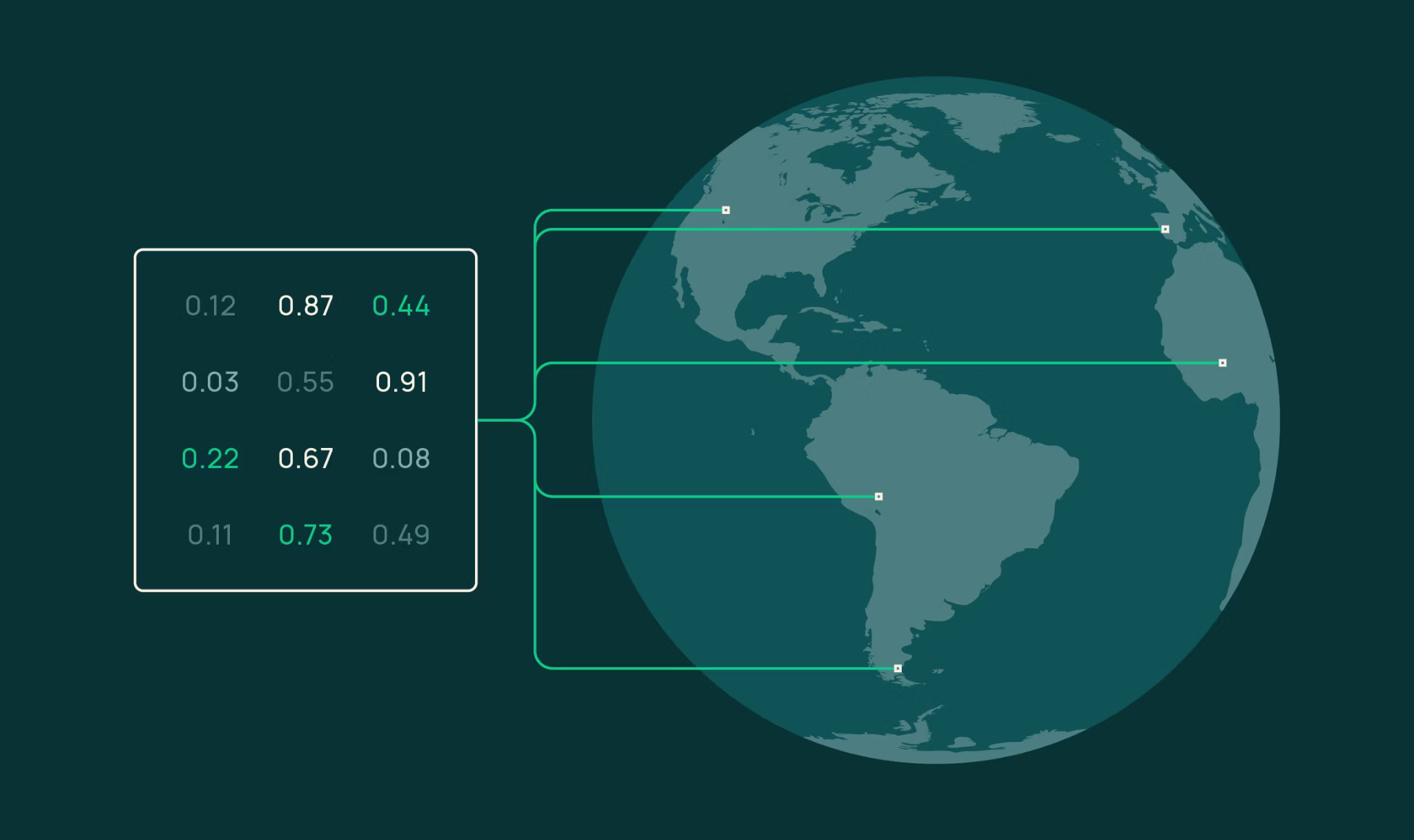
OlmoEarth embeddings facilitate an efficient entry point into the complex world of geospatial analysis. By transforming raw Earth observation data into compact, numerical vectors, these embeddings compress vast datasets into manageable forms, making them ideal for tasks such as similarity search, segmentation, and unsupervised exploration. This transformation highlights a broader pattern within AI systems: data compression and the reduction of complexity for enhanced utility.
Operational Versatility
The versatility of OlmoEarth embeddings is evident in their application across diverse scenarios. Users can choose parameters such as the area of interest, time range, encoder variant, resolution, and imagery sources directly through the Studio UI or API. The system’s ability to generate embeddings on demand, rather than relying on a pre-computed archive, ensures that results are timely and specific to current conditions. This is indicative of a larger trend toward systems that prioritize real-time data relevancy over static data models.
System-Level Shift: Data Compression Layer
The introduction of OlmoEarth embeddings underscores a significant system-level shift towards data compression. By converting extensive datasets into vectors, OlmoEarth enables quick data retrieval and analysis without sacrificing accuracy. This compression is essential in environments where storage and computational efficiency are paramount. It highlights the growing importance of patterns that reduce manual data manipulation, exemplifying how AI can enhance operational efficiency and decision-making.
Practical Applications and Benefits
Several practical applications demonstrate the tangible benefits of using OlmoEarth embeddings. For similarity search, users can identify areas with similar surface characteristics by comparing embedding vectors, offering an unparalleled view into landscape similarities and differences. Few-shot segmentation capabilities allow for quick mapping of land cover types, requiring minimal labeled data to produce accurate results. In change detection, temporal embedding comparisons provide insights into evolving surface conditions, a valuable tool for monitoring environmental changes.
Limitations and Considerations
While OlmoEarth embeddings present a robust framework for geospatial analysis, users must remain aware of potential limitations. The efficacy of the embeddings depends on the quality of input imagery, which can be affected by factors such as cloud cover or atmospheric interference. Furthermore, users are encouraged to validate the embeddings’ performance against their specific use cases, ensuring that the AI-driven insights align with practical requirements.
Conclusion: Monitoring Continues
The capabilities introduced by OlmoEarth embeddings illustrate a pivotal moment in the evolution of geospatial data analysis. By enabling efficient data compression and real-time analysis, OlmoEarth streamlines the decision-making process, demonstrating the broader trend of AI systems optimizing complex workflows. As AI continues to advance, the integration of such embeddings will likely become a standard practice across numerous sectors, reinforcing the importance of adaptable and intelligent data management systems.
Observation recorded.